GSSI UtilityScan
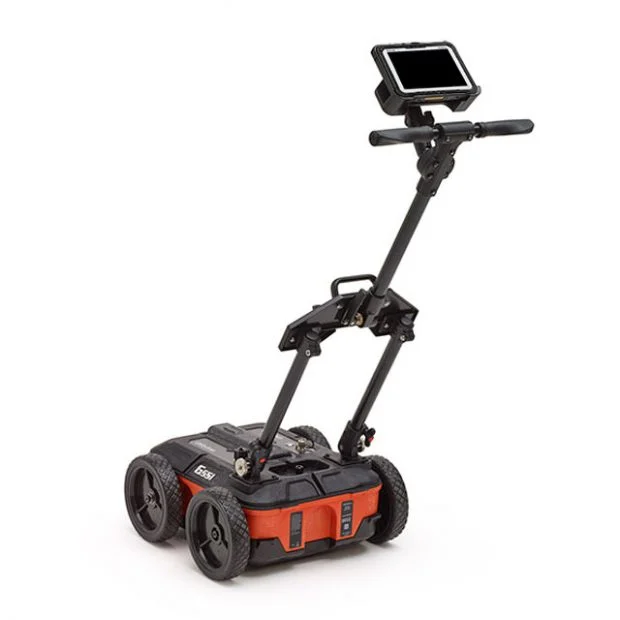
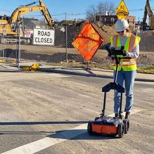
GSSI UtilityScan is built for the utility locating professional to accelerate workflow from target detection to reporting.
Real-Time Target Mapping
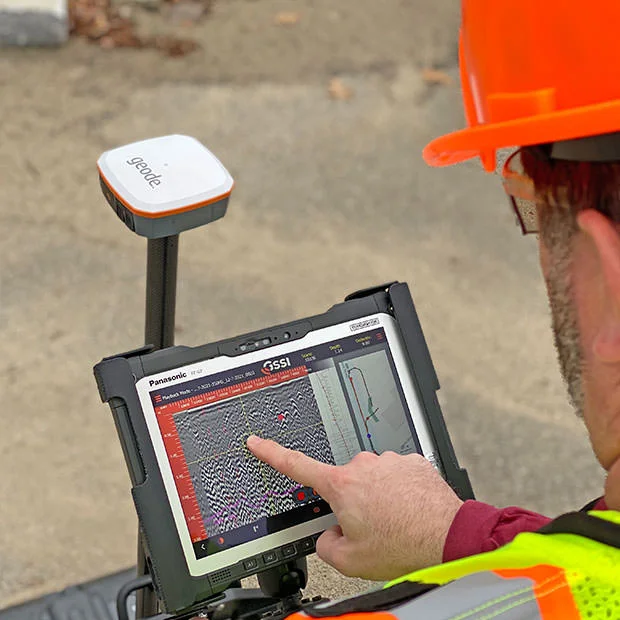
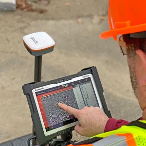
Map Mode allows users to trace their steps and gain a bird’s-eye view of their survey. Users can also simultaneously place American Public Water Association (APWA) color-coded marks on 2D data and a geo-referenced map.
The on-screen 3D data collection mode allows users to easily define the time slice depth and thickness in the field with the 3D data on the screen.
The map window can be minimized to view the 3D display full screen.
Integrated Advanced Sensor
UtilityScan can be configured with an optional LineTrac® power detection module. LineTrac is designed to identify and trace the precise location of underground electric and RF-induced utilities.
This allows the detected power or induced frequencies data to be overlaid on the radar data, providing reliable positioning and target information to the user.
These technologies are integrated into one seamless system to aid in target recognition and mapping, a first for the utility detection industry.
Rugged System for Construction Environments
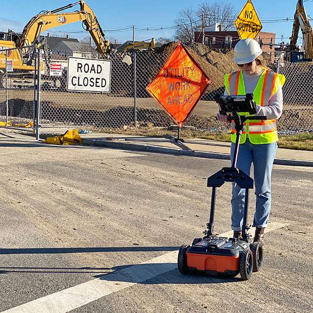
UtilityScan is rated IP65 and built to meet your job site needs. It can withstand the most challenging survey environments including rain, dust, and extreme cold down to -20°C (-4°F).
The Panasonic G2 tablet screen is designed for rain and glove use. For areas where Wi-Fi is prohibited, this system includes a rugged Ethernet cable that can be used for communication between the tablet and antenna.


